William Titley


Mapping The Landscape:
The aim of the project was to raise public awareness to the physical dimensions of the forgotten hamlet of Waterside, often referred to as ‘Wapping’, demolished during the 1930s ‘Slum Clearance Act’.
Using old maps (courtesy of Colne Public Library)and computer imaging techniques, a new map was produced, showing the positions of the lost houses on today’s landscape. The artist then painted the shapes of the buildings ‘full-scale’ onto the grassed areas using the same method as one would mark out a sports field. The event took two days to complete and sparked a lot of interest from the public; their memories of the village were published in the local press for up to six weeks after the event.
The performance attracted a lot of attention from the local press and created quite a stir among the residents of Colne. People asked many questions; ‘are you going to build on the land?’ or ‘is it some sort of game for the children to play on?’ they enquired.
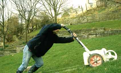
Map making: using equipment normally reserved for marking out sports' fields.
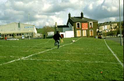
Making the most of daylight hours.
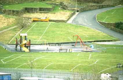
View of the local park located within the drawing.

View from the opposite side of the valley.